10 Short NJ Hikes: Waterfalls & Fall Views Under 5 Miles
By Bao You-Know
Updated November 2026
Short NJ hikes under 5 miles to waterfalls and big fall views: Hemlock Falls, Tillman Ravine, Buttermilk Falls, Tripod Rock. Distances, parking, fees, leash rules.
New Jersey has plenty of waterfalls and cliff-top views you can reach without a full day on the trail. The ten hikes below are all under about 5 miles round trip, from a 25-foot falls in Essex County to Sussex County ravines and a lookout high above the Hudson. Each one has its distance, difficulty, parking and any confirmed fees, all from the park's own page or the New York-New Jersey Trail Conference. Rules and road closures change, so check the park page the morning you go.
Quick picks
| Trail | Park | Distance / type | Difficulty | Highlight |
|---|---|---|---|---|
| Paterson Great Falls | NPS, Paterson | Overlook next to the lot | Easiest | Big river falls in a city |
| Hemlock Falls Loop | South Mountain Reservation | 1.6 mi, out-and-back plus loop | Easy to moderate | 25-foot waterfall |
| Tillman Ravine Trail | Stokes State Forest | 1.5 mi loop | Moderate | Hemlock ravine, cascades |
| Hacklebarney Main + Riverside | Hacklebarney State Park | About 2.5 mi loop | Easy to moderate | Black River cascades, pools |
| Peanut Leap Cascade Loop | Palisades Interstate Park | 2.5 mi loop | Moderate | Hudson cliffs, cascade |
| Garret Mountain Yellow + White | Garret Mountain Reservation | 2.8 mi loop | Easy to moderate | NYC skyline, Paterson views |
| Castle Point Short Loop | Ramapo Mountain State Forest | 3 mi loop | Moderate | Lake, castle ruins, NYC skyline |
| Tripod Rock | Pyramid Mountain | 3.3 mi suggested hike | Rugged, rocky | Balanced glacial boulder, skyline |
| Buttermilk Falls Trail | Delaware Water Gap NRA | Falls at the lot; trail 1.4 mi one way | Moderate-difficult (trail) | NJ's tallest waterfall |
| Dunnfield Creek Trail | Delaware Water Gap NRA | Out-and-back, turn around when you like (3.5 mi one way in full) | Moderate | Small cascades, stream crossings |
Paterson Great Falls National Historical Park
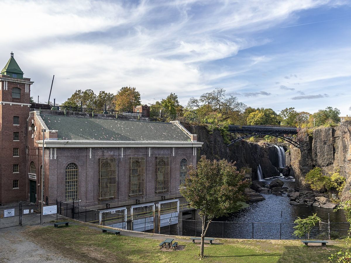
- Distance and type: The Great Falls Overlook parking area sits right next to the falls, so this is a short stroll, not a hike. It works well for grandparents and strollers.
- Highlight: A big river waterfall right in the city. The National Park Service says the grounds are always open, and the best time to see the falls is sunrise to sunset.
- Parking: 72 McBride Avenue Extension, Paterson, NJ 07501; turn into the Great Falls Overlook lot, per the NPS directions page. The City of Paterson may close the Overlook Park lot after dark.
- Fees: Free; no entrance pass is required, per the NPS fees page.
- Good to know: There is no visitor center, and restrooms are not available right now, per the park's planning page. By train, take NJ Transit to Paterson and walk about a mile.
Hemlock Falls, South Mountain Reservation
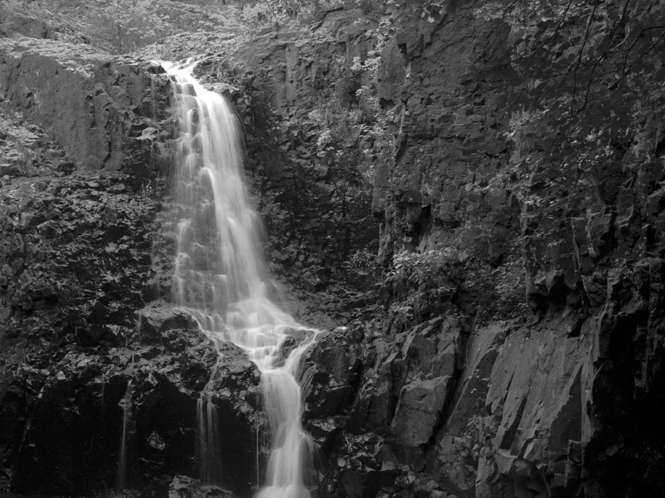
- Distance and type: 1.6 miles, about 1.5 hours, easy to moderate, per the South Mountain Conservancy's Hemlock Falls Loop hike sheet. You walk the yellow Lenape Trail to the falls, circle them on the red-dot Hemlock Falls Loop, and walk back.
- Highlight: Essex County calls the 25-foot waterfall the reservation's dramatic feature, per its park page. A smaller falls comes just before it.
- Parking: Tulip Springs lot, 0.4 miles north of the light at South Orange Avenue and Cherry Lane/Brookside Drive. The county lists the park at South Orange Avenue and Cherry Lane, West Orange, NJ 07052.
- Fees and hours: Not listed on the county page.
- Good to know: The loop crosses the brook at a narrow spot. The hike sheet warns that wet rock is slippery and that the crossing is impassable at high water. The county also notes that the Locust Grove lot and Fairy Trail are closed for construction.
Tillman Ravine, Stokes State Forest
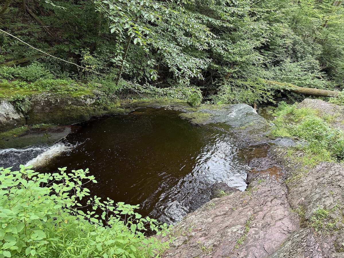
- Distance and type: 1.5-mile loop on the white-blazed Tillman Ravine Trail. It is rated moderate and open to hikers only, per the Stokes trail guide.
- Highlight: A narrow red shale and sandstone gorge under tall eastern hemlocks, with waterfalls along Tillman Brook.
- Parking: The trailhead is along Dimon Road on the west side of the forest. The park office is at 1 Coursen Road, Branchville, NJ 07826.
- Fees and hours: The gate is open daily, sunrise to sunset. Check the Stokes State Forest page for current fees.
- Good to know: Vehicle access to Tillman Ravine is restricted from Dec. 15 to April 15, or when the weather makes it hazardous.
Add-on view: Sunrise Mountain is in the same forest. At 1,653 feet, its summit has 360-degree views toward the Delaware River Valley, Pennsylvania and High Point, along with a pavilion the Civilian Conservation Corps built in the late 1930s. Sunrise Mountain Road follows the same Dec. 15 to April 15 closure.
Hacklebarney State Park
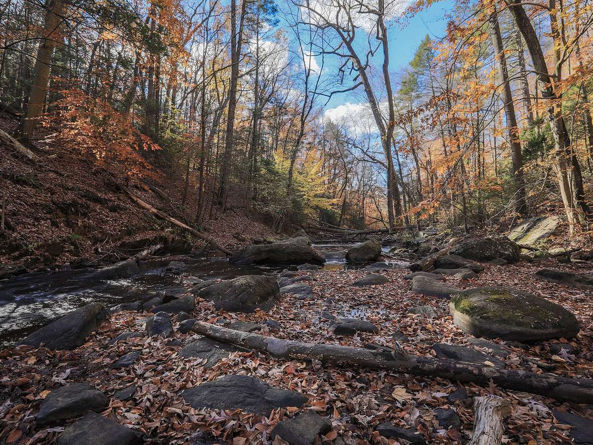
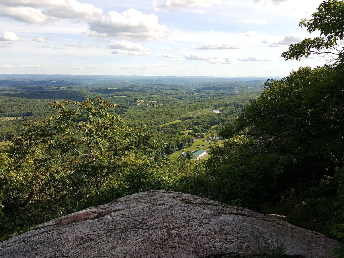
- Distance and type: About a 2.5-mile loop. The state's trail brochure suggests walking out on the white Main Trail (0.7 miles, easy) and back on the red Riverside Trail (1.8 miles, moderate, along the water). The park has nine official trails totaling almost 5 miles.
- Highlight: Big boulders along the Black River make pools and small falls. The purple Waterfall Trail (0.1 miles) drops to cascades on Trout Brook, and the blue Three Pools Trail leads to flat-water pools.
- Parking: 119 Hacklebarney Road, Long Valley, NJ 07853; phone 908-638-8572. Main Trail starts at the southeast corner of the main lot.
- Fees and hours: Check the park page before you go.
- Good to know: Swimming, drones and alcohol are not permitted, and the park doesn't provide trash cans, so pack out what you bring.
Peanut Leap Cascade Loop, State Line Lookout
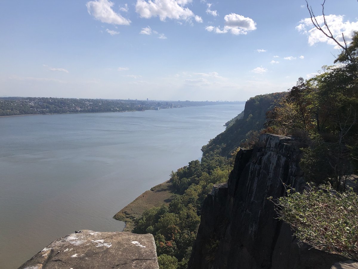
- Distance and type: 2.5-mile loop, rated moderate, about 2 hours round trip, per the State Line Lookout page. For something easier, the Women's Federation Monument hike is 2 miles and about an hour.
- Highlight: A cascade below the cliffs and lookouts high above the Hudson. Point Lookout, at 520 feet, is the highest point on the Palisades.
- Parking: State Line Lookout has its own unnumbered exit off the Palisades Interstate Parkway North in Alpine, 2 miles north of Exit 2.
- Fees: Metered parking all year, paid by card or the ParkMobile app, per the park's parking page. Weekends: $2.50 an hour for the first four hours, $1.50 for hours 4 to 8, $1 for hours 8 to 12, $20 max a day. Weekdays: $1.50 an hour for the first four hours, then $1 an hour, $12 max. In October, collection runs 8 a.m. to 6 p.m. NJ seniors 62+ with a valid NJ driver's license and NJ registration can apply for a metered-parking exemption ($5 application fee; not valid at Hazard's Ramp).
- Hours: Park areas are open 6 a.m. to 9 p.m. from April through October and 6 a.m. to 7 p.m. from November through March, per the 2026 park map.
Our foliage guide also covers State Line Lookout's overlooks.
Garret Mountain Reservation
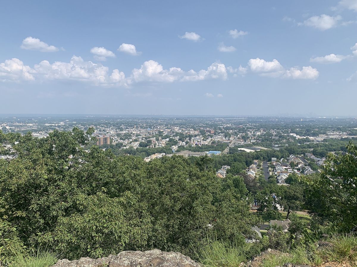
- Distance and type: 2.8-mile loop on the Yellow and White trails, easy to moderate. The Trail Conference listing tags it for views, a historic feature and public-transit access.
- Highlight: Overlooks above Paterson and, on clear days, the New York City skyline.
- Parking: 8 Mountain Avenue, Woodland Park, NJ 07424, per Passaic County.
- Hours: Open daily, sunrise to sunset. The county lists the park as dog-friendly with dogs leashed. It also has restrooms.
Castle Point Short Loop, Ramapo Mountain State Forest
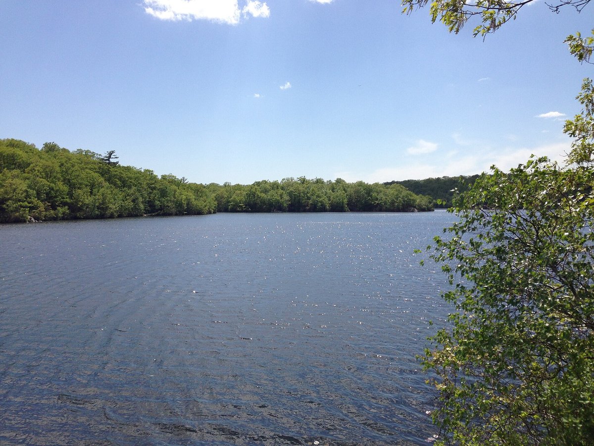
- Distance and type: 3-mile loop, moderate, on the white-blazed Castle Loop, per the Trail Conference hike page. One climb is steady and fairly steep.
- Highlight: The loop runs along Ramapo Lake, past a small cascade by a stone-arch bridge, and up to a ledge over the lake. On a clear day you can see the New York City skyline from there. Higher up you reach the ruins of the Foxcroft mansion (built around 1910), its stone cistern tower and west-facing views of the Wanaque Reservoir.
- Parking: The Trail Conference lists the trailhead parking area at GPS 41.047479, -74.251313, off Skyline Drive.
- Fees and hours: Check the park page. Use caution around the ruins.
Tripod Rock, Pyramid Mountain Natural Historic Area
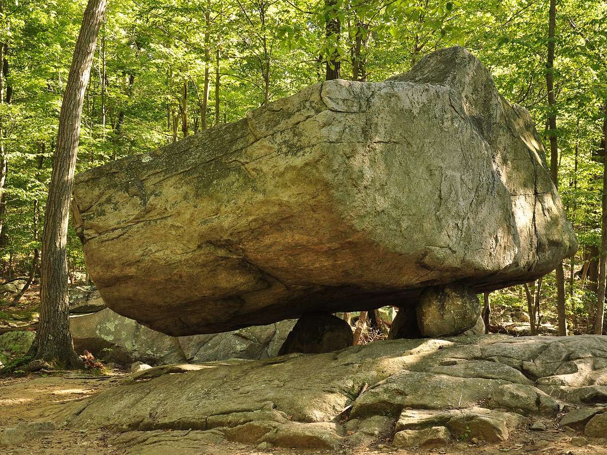
- Distance and type: 3.3 miles, about 2.5 hours, on the Morris County Park Commission's suggested Tripod Rock hike. From the visitor center lot, follow Blue, then Blue Dot, then Blue.
- Highlight: Tripod Rock, Bear Rock and Whale Head Rock are boulders the Wisconsin Glacier left more than 18,000 years ago. The park's high point, 934 feet, looks out to the New York City skyline.
- Parking: 472 Boonton Avenue, Montville Township, NJ 07045; phone 973-334-3130.
- Hours: Trails are open sunrise to sunset. The visitor center is open 9 a.m. to 4 p.m., per the park page.
- Good to know: The park calls its trails rugged. Bikes, rock climbing and fishing aren't allowed, and you must stay on blazed trails.
Buttermilk Falls, Delaware Water Gap National Recreation Area
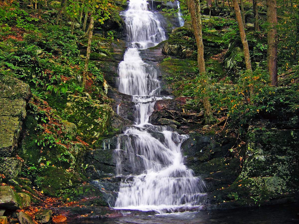
- Distance and type: The falls are beside the parking area. The National Park Service calls it an accessible waterfall viewing spot. For more, the Buttermilk Falls Trail climbs stairs beside the falls and keeps going up to the Appalachian Trail. That's 1.4 miles one way, moderate-difficult, with 1,104 feet of elevation change.
- Highlight: NPS calls it New Jersey's tallest waterfall. The ridge-top trail adds valley views.
- Parking: Off Mountain Road, a gravel road near Walpack Center. Right now you can only reach Mountain Road from Struble Road in Stokes State Forest, and Struble Road closes Dec. 15 through April 15.
- Fees: The recreation area does not charge entrance fees, per the NPS fees page.
- Good to know: Swimming and wading aren't allowed within 50 feet upstream of a waterfall or in it. NPS says lots at popular trailheads, Buttermilk Falls included, are usually full by 9 a.m. on spring-to-fall weekends.
Dunnfield Creek Trail, Delaware Water Gap National Recreation Area
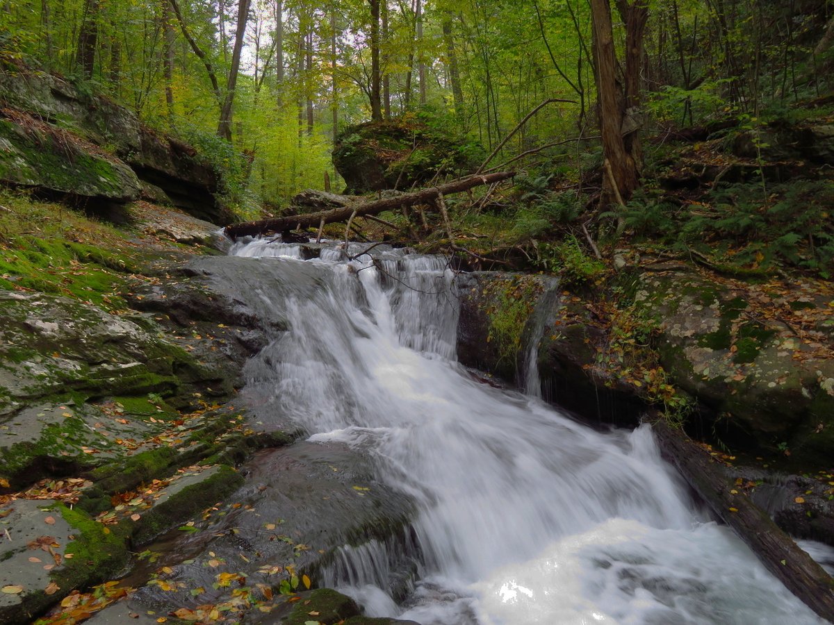
- Distance and type: Out and back; turn around whenever you like. The full green-blazed Dunnfield Creek Trail runs 3.5 miles one way to Sunfish Pond, rated moderate. The trail starts 0.5 miles in from the Dunnfield Creek Natural Area trailhead.
- Highlight: A hemlock and hardwood ravine with lots of small cascades. Dunnfield Creek is a designated Wild Trout Stream.
- Parking: Use the Dunnfield Creek Natural Area lot off I-80 near the Delaware River; the NPS trail page links directions to the trailhead.
- Fees: No entrance fee in the recreation area.
- Good to know: Expect several stream crossings. The steep Mt. Tammany climb starts at the same lot and is rated difficult, so it's not on this list.
Fall safety and leash tips
- Start early. Popular Water Gap lots often fill by 9 a.m. on weekends. Fall days are short, too, and most of these parks close their gates at sunset.
- Leashes: Hacklebarney and Pyramid Mountain require leashes no longer than 6 feet. Stokes requires leashes at all times on its stretch of the Appalachian Trail, and the Delaware Water Gap's BARK rules say to always use a leash. Bag the waste and carry it out.
- Hunting season: The National Park Service notes that hunting is allowed in the Delaware Water Gap. It asks visitors to know the season dates and get proper safety gear for their pets.
- Ticks: The state's Hacklebarney brochure says to use insect repellent, wear light-colored clothing, tuck pants into socks, stay on the trail and check yourself afterward.
- Bears: Don't approach or feed black bears, and never run from one. Report an aggressive bear at 1-877-WARN-DEP (1-877-927-6337).
- Wet leaves and rock: Leaves hide roots, and rocks near falls stay slick. Wear shoes with real tread, and skip brook crossings when the water is high.
- Bring: Water for you and the dog, layers and a paper map.
FAQ
What is the easiest waterfall to see in New Jersey?
Paterson Great Falls, which is next to its parking lot and free, and Buttermilk Falls, which NPS calls an accessible viewing spot. Hemlock Falls is a 1.6-mile walk.
Which short NJ hikes have NYC skyline views?
Garret Mountain (2.8 miles), Pyramid Mountain's high point on the Tripod Rock hike (3.3 miles) and the Castle Point loop at Ramapo (3 miles), on a clear day.
Do NJ state parks charge entry in the fall?
Fees vary by park and season, so check the park page for current fees; Stokes State Forest and the other state parks each list theirs. State Line Lookout uses metered parking year-round.
Can I bring my dog?
Yes, on a leash, at every park listed here. Hacklebarney and Pyramid Mountain specify a 6-foot maximum.
When can I drive to Tillman Ravine and Buttermilk Falls?
Vehicle access to both ends Dec. 15 and returns April 15. Roads can also close in hazardous weather.
More fall day trips: Maple and foliage day hikes near the city · Mohonk and the Lemon Squeeze · A fall day in Jim Thorpe, PA
Disclaimer: This article is for general information only. Trail conditions, fees, hours and road closures can change; please confirm with each park before you go. Corrections or questions: contact@dailybaonews.com.
Photos: Zeete (top), Acroterion, Michael Kent (Aplmike), Famartin, JackTheVicar, Jim Lukach, EvanSheppard, Steven Reynolds, Nicholas A. Tonelli and Trevor Webb, via Wikimedia Commons under the licenses noted in each caption.
Sources
- NPS: Paterson Great Falls, Plan Your Visit
- NPS: Paterson Great Falls, Directions
- NPS: Paterson Great Falls, Fees
- Essex County Parks: South Mountain Reservation
- Essex County Parks: South Mountain Reservation, About
- South Mountain Conservancy: Hemlock Falls Loop from Tulip Springs
- NJ State Parks: Stokes State Forest
- NJ State Parks: Stokes State Forest trail guide
- NJ State Parks: Trails of Hacklebarney State Park
- NJ State Parks: Hacklebarney State Park
- Palisades Interstate Park: State Line Lookout
- Palisades Interstate Park: Parking
- Palisades Interstate Park: 2026 park map
- Passaic County: Garret Mountain Reservation
- NY-NJ Trail Conference: Find a Hike (Garret Mountain loop)
- NY-NJ Trail Conference: Castle Point Short Loop
- NJ State Parks: Ramapo Mountain State Forest
- Morris County Park Commission: Pyramid Mountain
- Morris County Park Commission: Tripod Rock suggested hike
- NPS: Buttermilk Falls Trail
- NPS: Buttermilk Falls
- NPS: Delaware Water Gap hiking
- NPS: Delaware Water Gap fees
- NPS: Delaware Water Gap pets
- NPS: Dunnfield Creek Trail